
About this collection
The Images
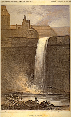
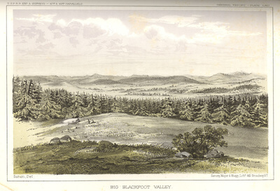
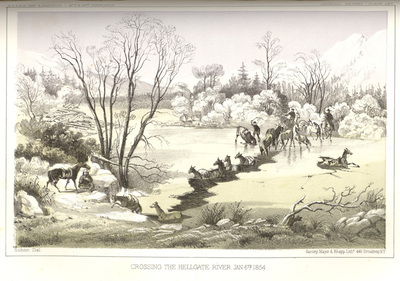
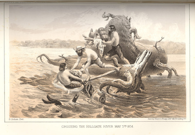
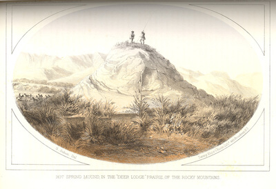
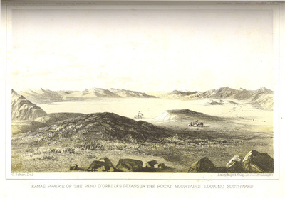
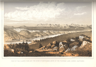
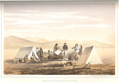
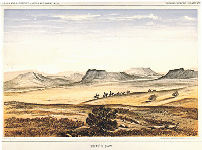
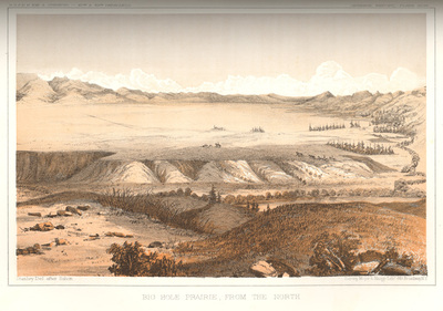
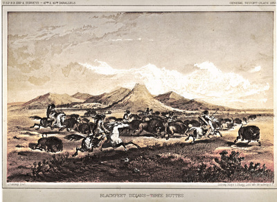
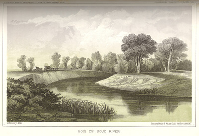
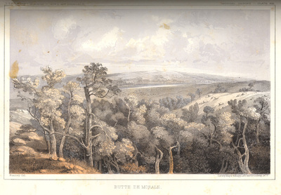
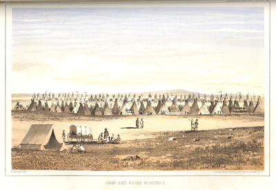
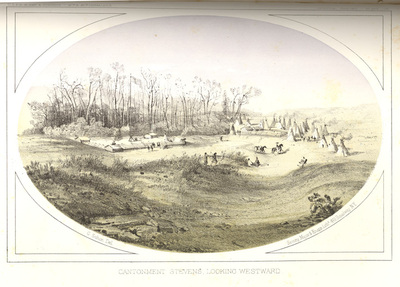
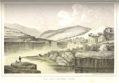
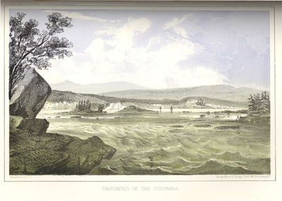
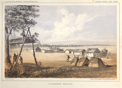
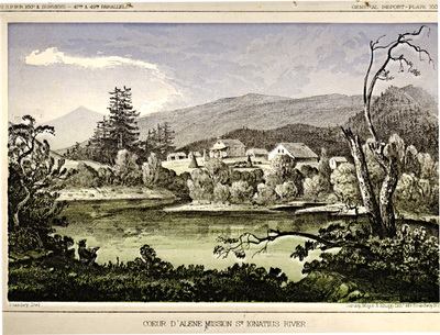
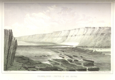
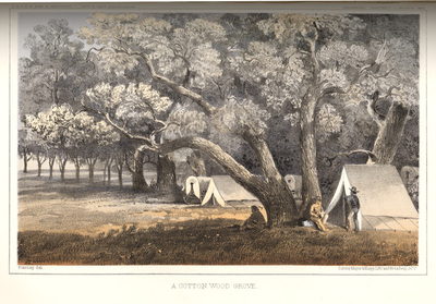
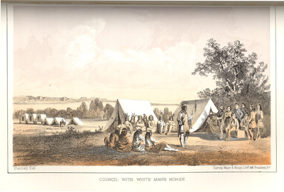
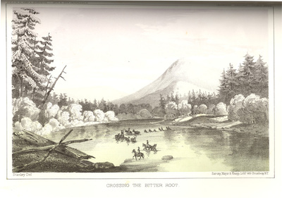
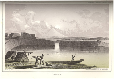
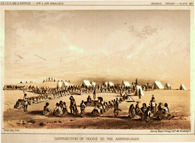
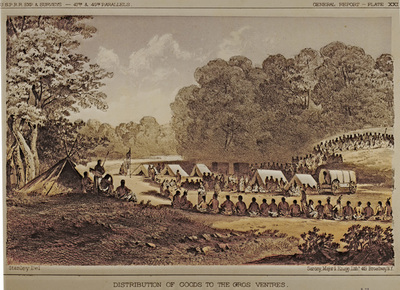
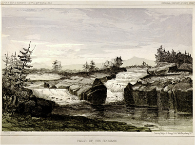
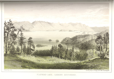
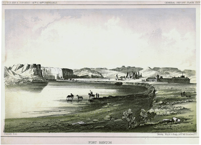
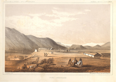
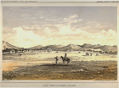
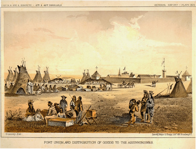
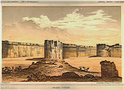
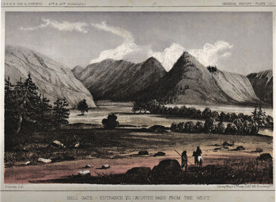
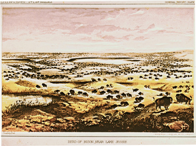
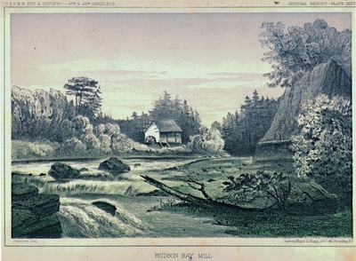
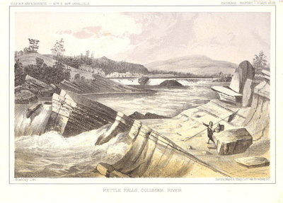
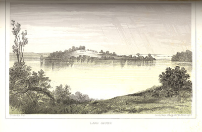
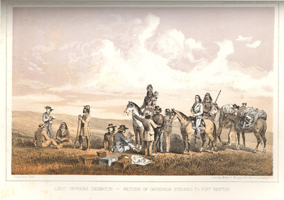
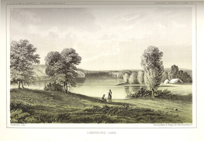
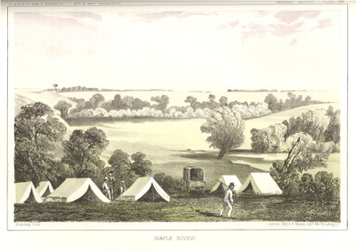
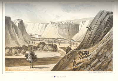
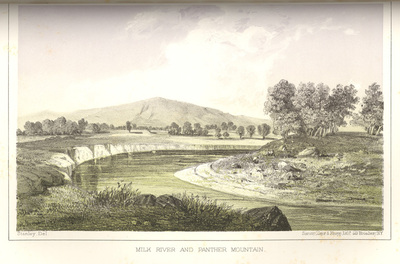
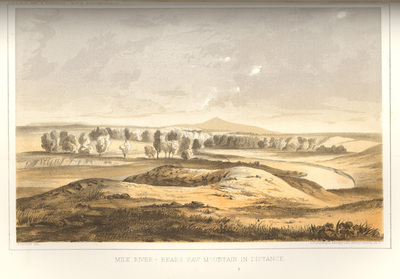
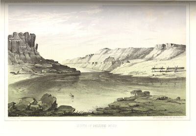
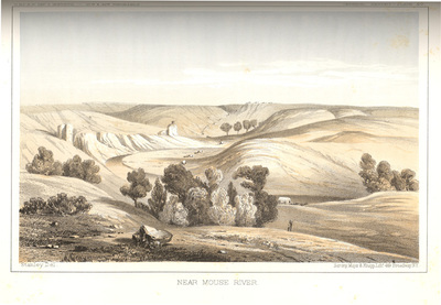
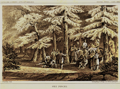
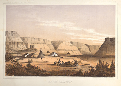
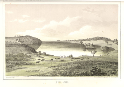
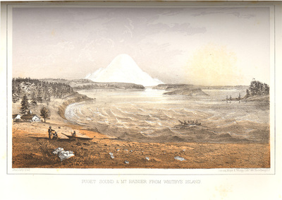
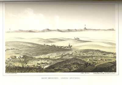
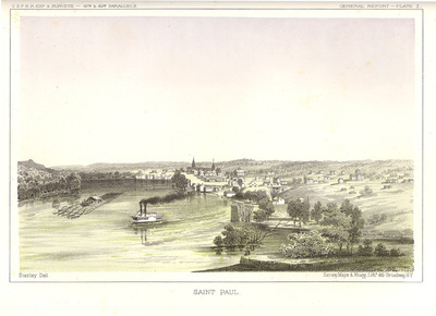
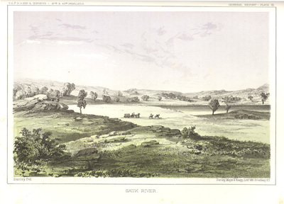
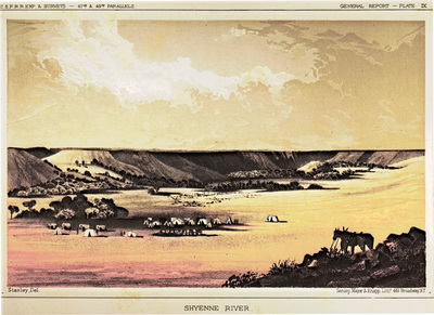
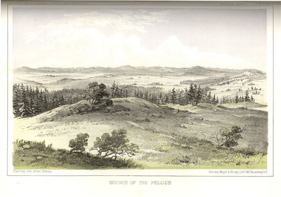
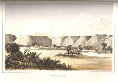
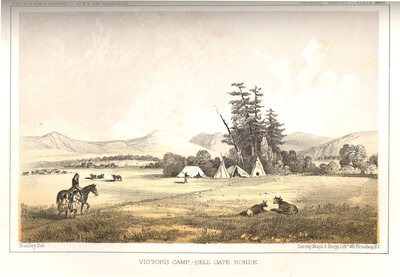
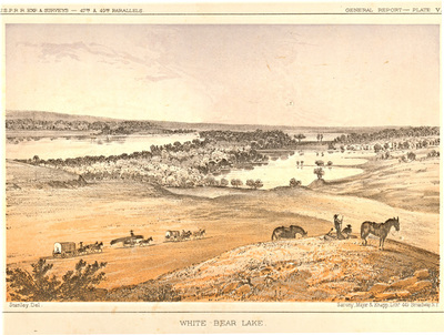
These prints were taken from the twelfth volume of the 1860 War Department Reports of Explorations and Surveys. They represent some of the earliest published images of the Northwest. These lithographs illustrate the region's landmarks as well as scenes showing the region's Indians. A few of the illustrations show early white settlement or missionary activities.
Historical Note
In 1853, the United States Congress appointed the Army's topographic bureau to conduct six surveys to find the best route for a transcontinental railroad. Isaac Stevens, governor of Washington territory, led the northern survey along the 47th parallel between St. Paul, Minnesota and the Puget Sound. In addition to exploring and mapping the territories, the surveys studied the Indians, the animals and the natural features of each area. The Stevens expedition employed two artists to illustrate the report. Survey artists John Mix Stanley and Gustavus Sohon, created lasting illustrations and both are represented in this digital collection.
Biographical Notes
John Mix Stanley (1814-1872) was an American artist known for his landscapes and portraits of American Indians in the West. He was already painting Indians when he accompanied the 1847-48 military expedition led by Stephen Watts Kearny which traveled to California and Oregon. In 1853, he was appointed to accompany the Stevens expedition to illustrate the report for the northern railroad survey. Though Stanley created hundreds of paintings, drawings and daguerreotypes in his career, little of his original work survives due to disastrous fires.
Gustavus Sohon (1825-1903) was born in Germany and came to the United States at the age of seventeen. Sohon enlisted in the U. S. army in 1852 and was stationed at Fort Steilacoom, Washington. He worked as an artist, explorer, topographer and interpreter. After serving with Stevens, he worked on building the Mullan Road. He later married and operated a photography studio in San Francisco for five years before moving to Washington, D. C. where he lived for the rest of his life.
Isaac I. Stevens (1818-1862) had three duties in the early 1850s. In addition to directing the northern-most transcontinental railroad survey, he was Governor of Washington Territory, and was responsible for negotiating treaties with the Indian tribes of the territory to extinguish their title to land in the region. Stevens served as governor until 1857, when he was elected to be the territory's Congressional delegate. Returning to active duty in the U.S. Army in 1861, he was promoted to the rank of Brigadier General, and was killed at the Battle of Chantilly in September, 1862.


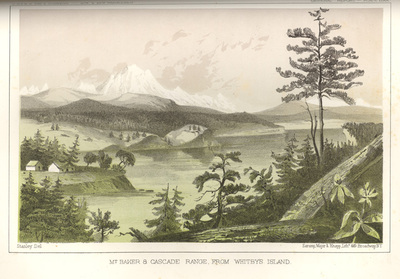
 Island by John Mix Stanley; Sarony, Major & Knapp, Lithographers; and Thomas H. Ford, Printer")

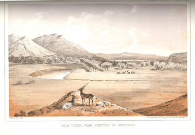
 River by John Mix Stanley; Sarony, Major & Knapp, Lithographers; and Thomas H. Ford, Printer")


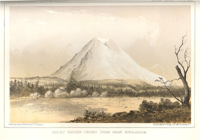
 Island by John Mix Stanley; Sarony, Major & Knapp, Lithographers; and Thomas H. Ford, Printer")


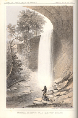
 by John Mix Stanley; Sarony, Major & Knapp, Lithographers; and Thomas H. Ford, Printer")


