
About this Collection
The Images
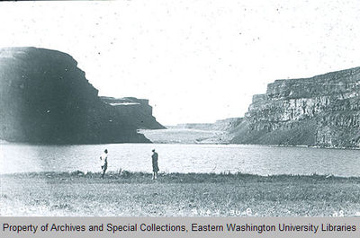
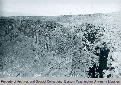
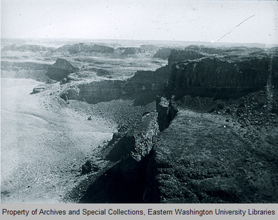
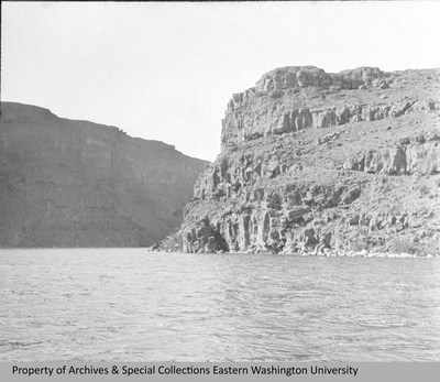
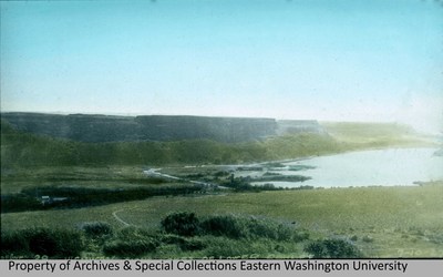
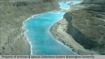
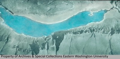
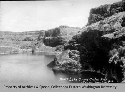
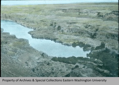
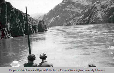
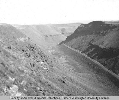
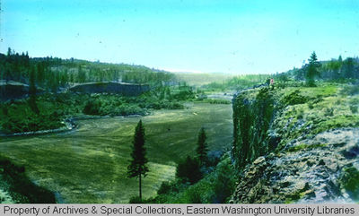
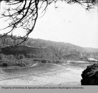
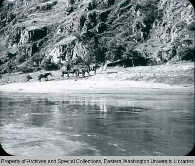
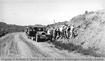
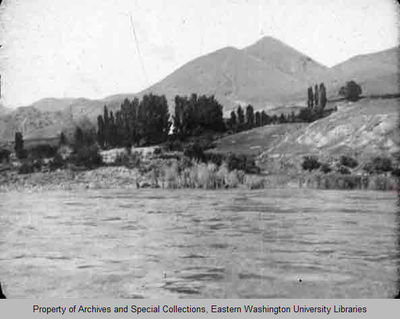
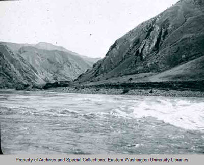
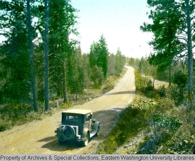
The Otis Freeman photograph collection includes over 500 glass lantern slides, primarily images of the physical geography of the Pacific Northwest, which he used to illustrate his lectures. The digital collection is a sampling of the entire Freeman collection.
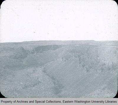
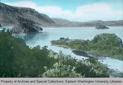
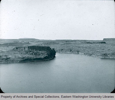
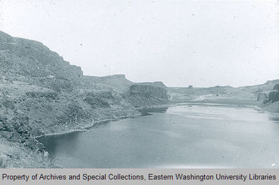
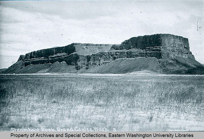
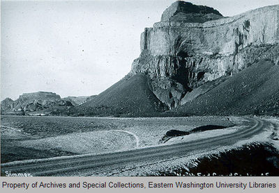
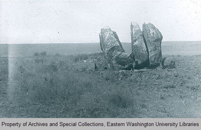
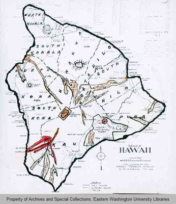
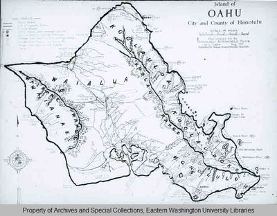
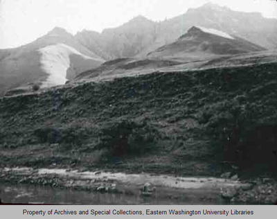
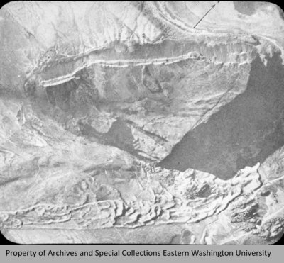
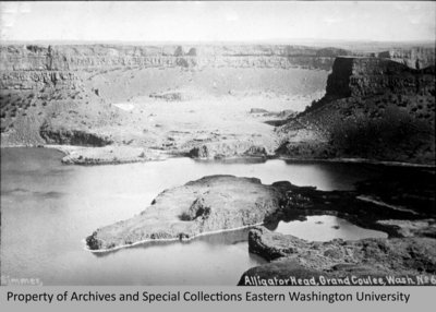
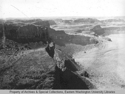
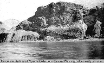
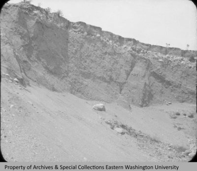
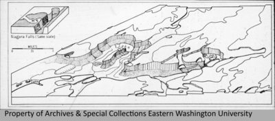
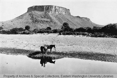
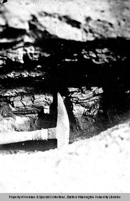
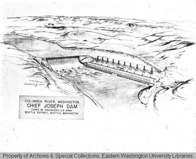
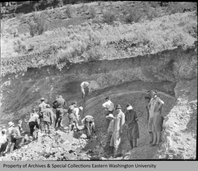
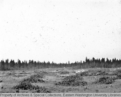
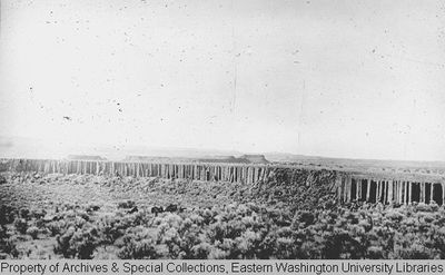
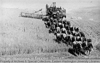
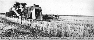
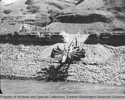
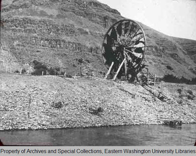
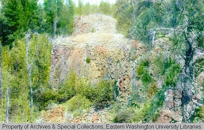
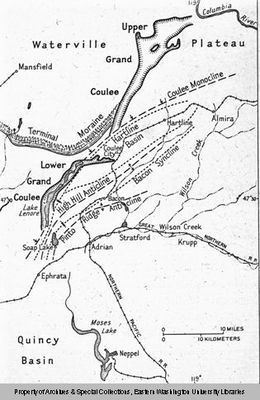
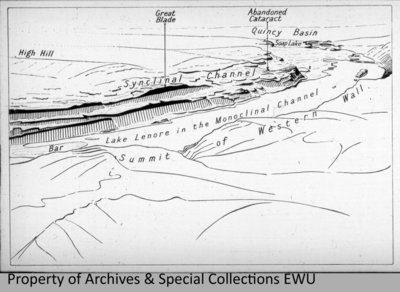
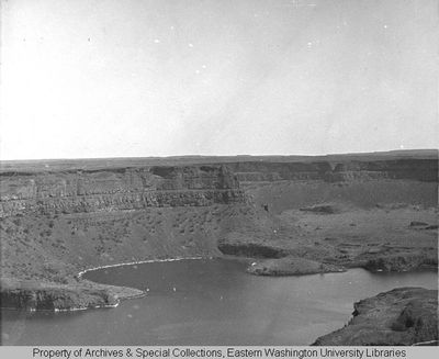
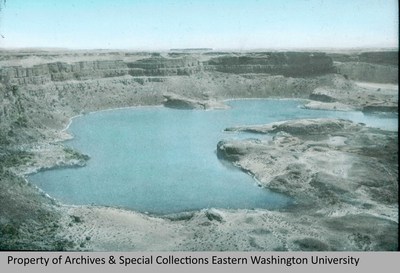
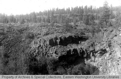
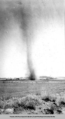
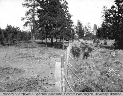
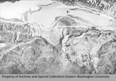
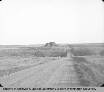
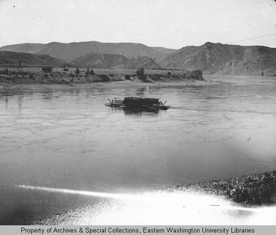
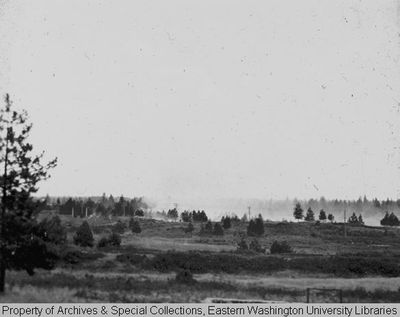
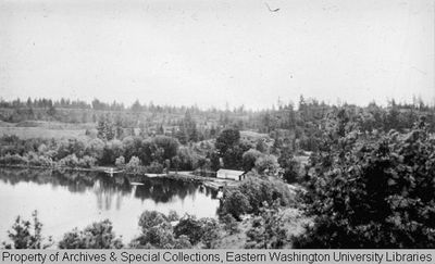
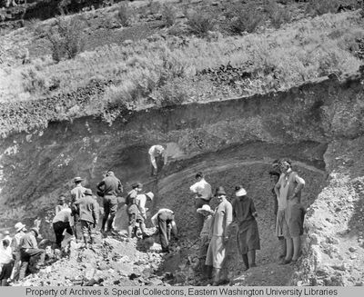
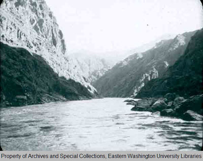
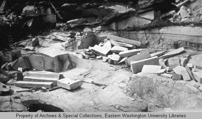
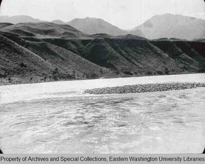
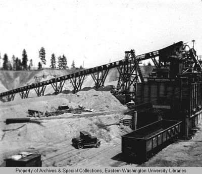
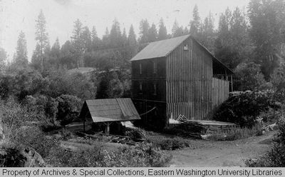
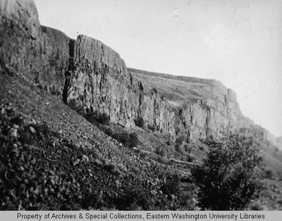
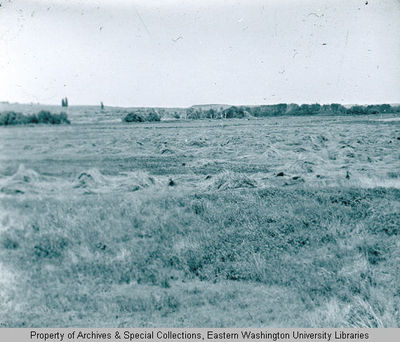
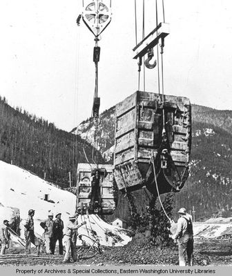
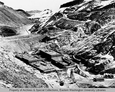
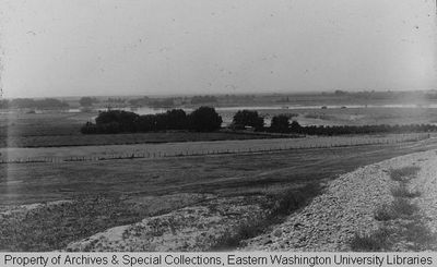
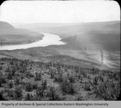
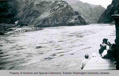
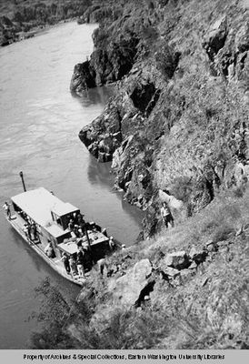
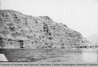
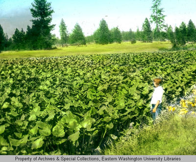
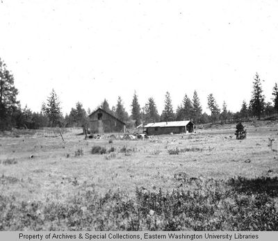
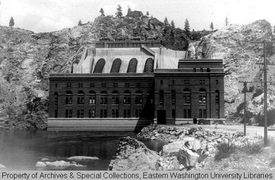
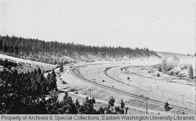
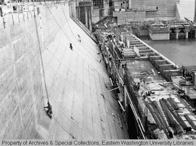
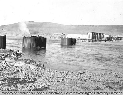
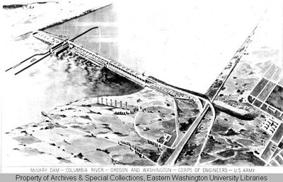
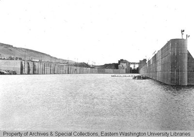
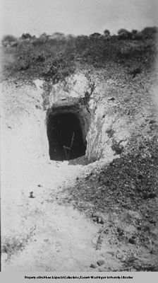
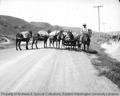
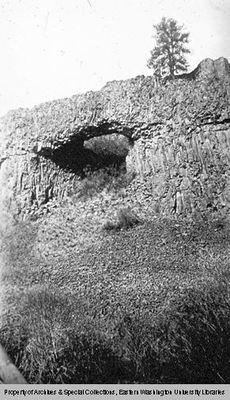
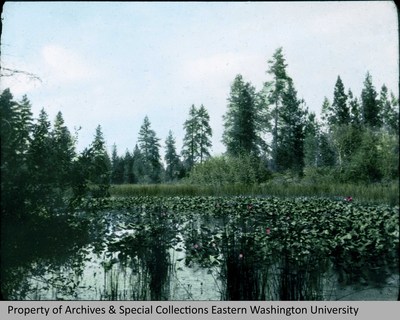
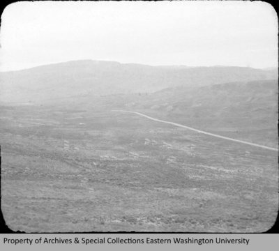
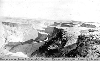
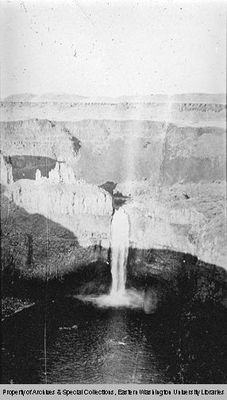
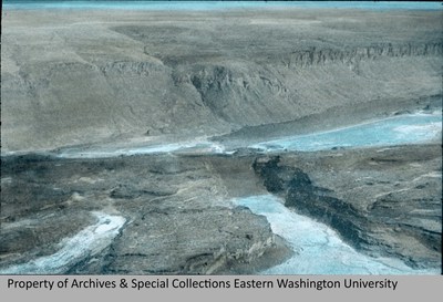
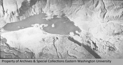
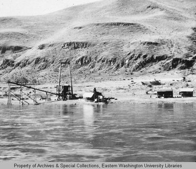
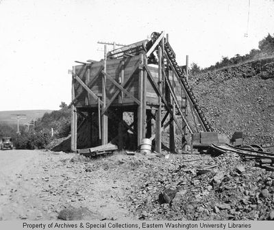
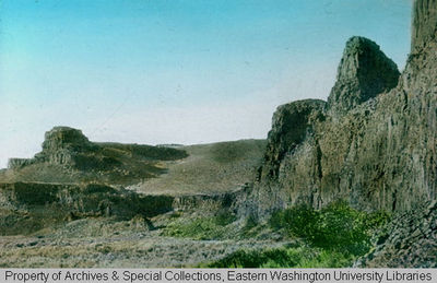
A large portion of the collection contains images of the Pacific Northwest. The bulk of these were taken in Washington, but also includes images from Idaho, Montana and Oregon. The collection includes many images of identified geologic features, such as buttes, waterfalls, canyons, lakes and rivers. It also contains pictures of dam sites, including the Grand Coulee Dam, Chief Joseph Dam, Dry Falls Dam, McNary Dam, and Hungry Horse Dam (Montana). The collection also contains slides taken of maps and diagrams of the dams. The photographs illustrate Freeman's interest in regional and human geography with images of people farming, ranching, mining and the effects on the land.
Biographical Note
Otis Willard Freeman (1889-1964), geographer and geologist, was born and raised in Michigan. He received his A.B. at Albion College, 1910, his M.S. in geology from the University of Michigan in 1913 and his Ph.D. Clark in 1929. He was married to Laura Cowell in 1914 and they had four children, though only two daughters survived.
Freeman came to the Cheney State Normal School (now EWU) in 1924 as a teacher of geography and geology. He had several leaves of absence from Eastern and taught at the University of Hawaii and at Indiana University. He also taught summer sessions at San Francisco State College, Western Reserve University, Reed College and the University of Washington. While teaching at Eastern, he was a strong proponent of field work, and took his students on trips to Illinois, Arizona, California, Hawaii and Alaska, as well as trips throughout Washington and Oregon. In 1932, he was made head of the Physical Science Dept. at Eastern and served in that capacity until the death of Walter W. Isle in 1951, when he was appointed acting president. He resigned as president in 1953.
He was the author of over 100 articles, books and other publications. He was also the geography editor of the Education magazine and published many essential textbooks on Geography and Geology. He died in 1964.


